
New technologies are revolutionizing the use of remote sensing in riverine landscapes, greatly increasing our ability to identify and address the main causes of water pollution. These causes include the impact of farming and other uses of land on the quality of river water, as well as the influence of ground and surface water inputs.
Low-cost drones have made it possible to gather detailed images of land use and other valuable data related to water quality, even in areas difficult to access, without incurring the high costs of manned aircraft flights.
Drones have the unique advantage of being able to gather live data from a range of sensors, including multispectral, NIR and LIDAR sensors, providing precise indicators of water purity. The rapid and affordable collection of such extensive data can play a vital role in informing the design and implementation of water management policies.
To promote and support the adoption of such technology by public institutions, Skopje Lab designed a pilot and facilitated a cooperation between the City of Skopje and the Faculty of Computer Science and Engineering (FINKI) to test it.
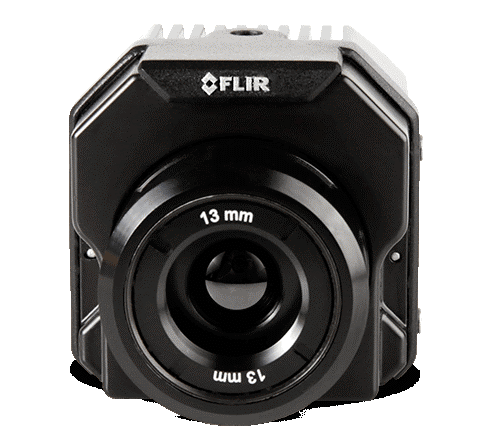
The project provides a framework for monitoring riverbeds and the quality of river water using drones with thermal and standard (RGB) cameras and software for aerial image processing.
The framework was developed together with the City of Skopje administration and state institutions that monitor the quality of flowing water.
Several drone flights have been conducted with local government as part of the project, with tutorials and help on how to use the platform.
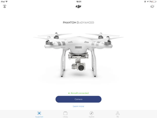
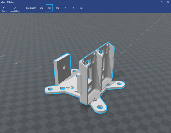
The following figures illustrate some of the equipment used in the project.


The platform provides the City of Skopje with high resolution maps of the flow of the river, with thermal images indicating the temperature of the water. This data enables the early detection of physical and chemical contaminators in the water.
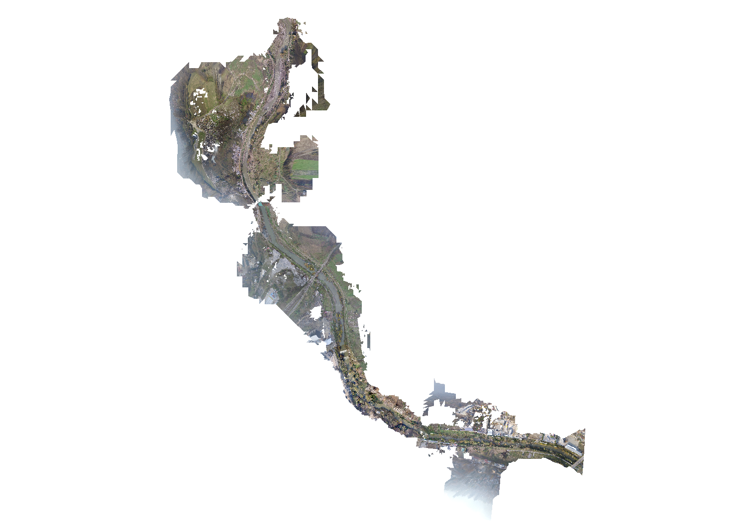
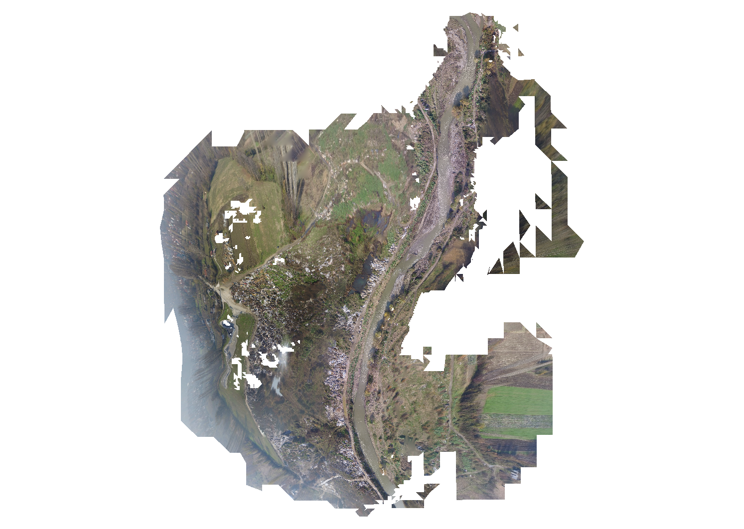
The project included drone overflights of part of the River Lepenec, demonstrating the simplicity and efficiency of the presented method. Four flights were made in one hour to cover the four-kilometre section of the river. From the data, a 3D model was made of the basin of the River Lepenec, as well as the following ortophoto (Figure 6).
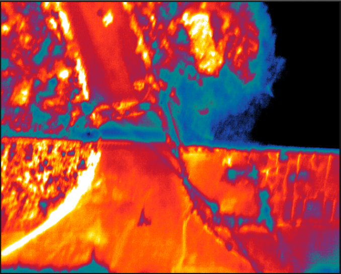
Using the thermal camera, temperature differences of around 2ºC were identified between River Lepenec and the River Vardar. Such differences in temperature can significantly affect the flora and fauna of rivers. Figure 7 clearly shows that places with less vegetation are more heated by the sun radiation (around 3 ºC).
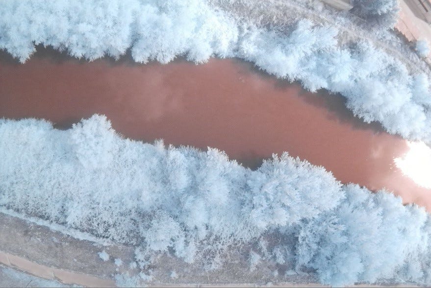
Images from the NDVI camera (Figures 8 and 9) clearly show differences in the extent of vegetation, sand aggregation and human activity in different parts of the riverside basin.


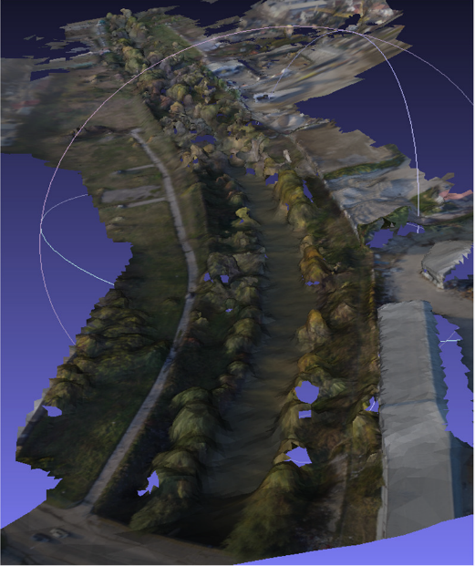
The same information about human activities and sand aggregation can be obtained by using the 3D model of the river basin (see Fig. 10).
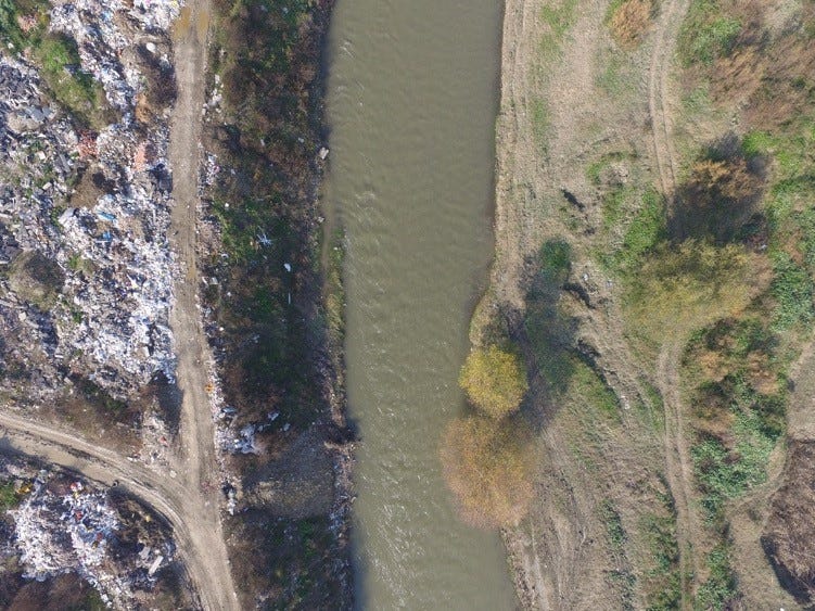
The platform was also used to detect wild landfills along the course of the river. Drone monitoring shows significant land pollution due to small factories and human activities along the river (Figures 11 and 12).
The staff of the City of Skopje administration actively participated and were keen to adopt the new technologies. This inclusive process generated many ideas for how the city administration can use drones in their everyday activates to collect valuable data to help improve the quality of life for people.
Skopje Lab provided extensive training for the City of Skopje employees, including training on how to fly drones and process data. As such the Skopje Lab concept has proved a powerful catalyst for improving and accelerating the process of innovation in local government.
Authors: Kostadin Mishev, Aleksandar Stojmenski, Igor Mishkovski and Dimitar Trajanov

